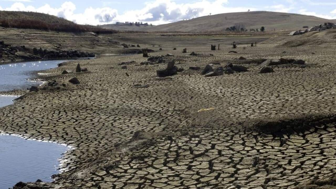
Drought and bushfire risk may soon be predictable months in advance, giving Australian forecasters a powerful new tool in the battle against our warming climate.
Using data from multiple satellites orbiting the earth, scientists at The Australian National University have begun measuring groundwater and soil moisture across the country.
When combined with computer modelling to simulate the water cycle and plant growth, it gives researchers a detailed picture of water distribution below the ground and the likely impact on vegetation months later.
"We can actually predict how likely it is a parcel of land or forest is going to show real signs of drying up, sometimes as far ahead as six months" Professor Albert van Dijk told AAP.
"And there is a lot of Australia where we don't have that information and it's really important."
It means farmers will be able to better predict if crops will be harvestable or whether there will be enough pasture for stock.
"It will also increase the amount of time available to manage the dire impacts of drought, such as livestock losses and bushfires," he said.
The data is so accurate, the team is able to predict water levels and the potential for drought in areas from district size down to five kilometres squared.
"And when combined with weather forecasts, it even more powerful," Prof van Dijk said.
The research team is already in talking with the Bureau of Meteorology to find ways to integrate their observations with the bureau's existing modelling and tools.
"And it's not only Australia, we could do this globally," Prof van Dijk said.
The research was published in Nature Communications on Tuesday.


