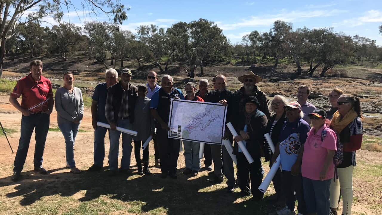
Maps detailing significant cultural sites have been handed to Euahlayi Elders in a ceremony opposite the Brewarrina fish traps, one of Australia's oldest heritage sites located on the Barwon River.
The gathering on Tuesday was attended by Aboriginal leaders including Fred Hooper, chair of Northern Basin Aboriginal Nations which represents 22 Aboriginal nations.
“The information in these maps is invaluable to Aboriginal communities and shows the historical and current use of rivers and waterways,” he said.
“More importantly, the maps show how Aboriginal people have deep and enduring connection to Country.”
The maps show 26,000 features which include areas for hunting, fishing, harvesting plants, campsites, burial mounds and sacred sites.
They cover area which stretches from Brewarrina - a community in northern New South Wales, to St George - a Queensland town 500km due west of Brisbane.
The documents were compiled by Tobias and Associates, a research consultancy which has pioneered use-and-occupancy surveys with Indigenous communities in Canada. The two-year project was supported by the Murray Darling Basin Authority and follows efforts to establish the concept of ‘cultural flows’ - water entitlements that are legally and beneficially owned by Aboriginal nations.
Traditional Owners receive a copy of the maps during a ceremony at Brewarrina. (Supplied) Source: MDBA
It follows which provides local Indigenous groups with practical steps to progress their water rights. The study was supported by leading water scientists, legal academics and water management agencies.
Last month, in an effort to lobby the government to enshrine Aboriginal water rights in national law.


