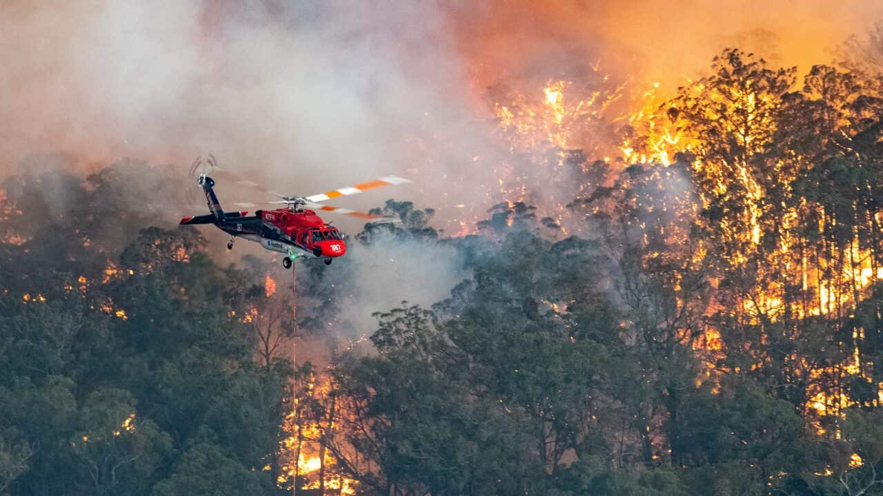
The Bureau of Meteorology has released its Annual Climate Statement, revealing 2019 was both the warmest and driest year on record for Australia.
This was the first time both records have been broken in the same year.
Australia's 2019 average mean temperature was a record-breaking 1.52 °C above average. The previous record, from 2013, was 1.33 °C above average.
The national average rainfall total in 2019 was 277 mm, breaking the previous record of 314 mm set in 1902 during the Federation drought.
Meanwhile, rainfall had a significant impact on communities in northern Queensland, particularly around Townsville, with the floodwaters eventually making their way to South Australia, where Kati Thandi - Lake Eyre was filled.
Bushfire impacts
Bureau of Meteorology head of climate monitoring Dr Karl Braganza said the combination of heat and drought was a key factor influencing .
" was the warmest month Australia has ever recorded, while just a few weeks ago in December, we saw the Australia-wide record hottest daily average maximum temperature broken multiple days in a row," said Dr Braganza.
"At the same time, across large parts of eastern Australia have continued to increase, unfortunately exacerbating both drought conditions and the current bushfires."
Dr Braganza told NITV News the recent loss of bushland might have an impact on temperature and rainfall in Queensland, but less so in New South Wales.
"As you go further south, the weather tends to sweep in from the West to the East. You get less of an impact from what's happened on the land surface," Dr Braganza said.
"In terms of run-off, there are large changes in the way the water flows over a recently burned forested region. Which is why fire agencies are so committed to putting out fires in catchment regions."
Average or lower rainfall is expected for the coming months in the east of the country, and wetter than average conditions are possible for much of WA and SA. However, temperatures are likely to remain warmer than average over the rest of summer.
"Unfortunately the outlook is not indicating a widespread return to wetter than average conditions over drought and fire-affected parts of eastern Australia," said Dr Braganza.
"But with the likely return of the monsoon by mid-January for northern Australia, it raises the chances that we could see some periods of higher rainfall move south in the coming months,"
The BOM is stressing the importance of remaining vigilant to the risk of more heat and fire days this summer, particularly given how dry the country has been over the past 12 months.


